OUR SERVICES
GV Modern Surveyors, a team of experts with years of experience in the surveying industry, helps our clients to resolve the puzzle in their total extent of the land. We understand the time and accuracy is the most crucial thing in surveying.
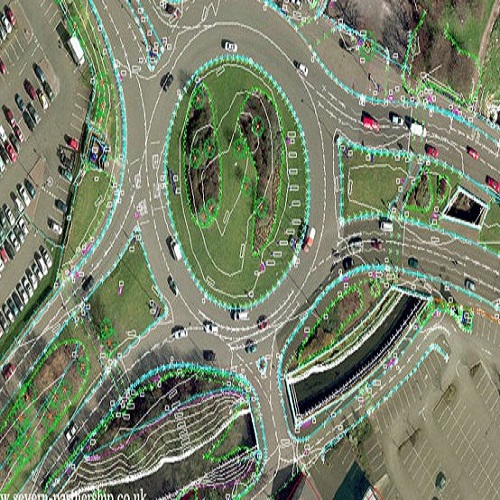
Topographical Survey
A topographical survey is a detailed surveying technique that maps and records the physical features and characteristics of a land area or a specific site. It involves the measurement and documentation of both natural and man-made features such as contours, elevation, slopes, vegetation, buildings, roads, rivers, and other relevant elements.
The primary purpose of a topographical survey is to provide accurate and comprehensive information about the existing terrain and its features. This data is typically used by engineers, architects, urban planners, and land developers to inform the design and construction of various projects.

Building Setting Out Work
Building setting out work refers to the process of transferring the dimensions and positions of a building's design from architectural and engineering drawings to the actual construction site. It involves marking and establishing the precise locations of key structural elements, such as walls, columns, foundations, and other components, according to the planned design.
The purpose of building setting out work is to ensure accurate and precise placement of the building's components on the ground, aligning them with the design specifications. This process is typically carried out by a land surveyor or a specialized setting out engineer who uses various surveying instruments and techniques to translate the design onto the construction site.
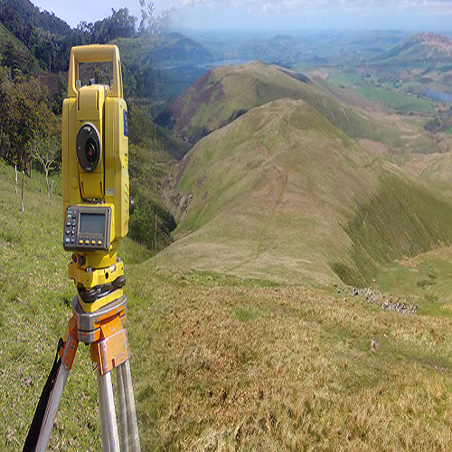
Hills Survey
When conducting surveys in hilly areas, surveyors face unique challenges due to the irregular terrain and steep slopes. They may employ specialized techniques and equipment to accurately measure and map the land. Some considerations in a survey of hilly terrain may include:
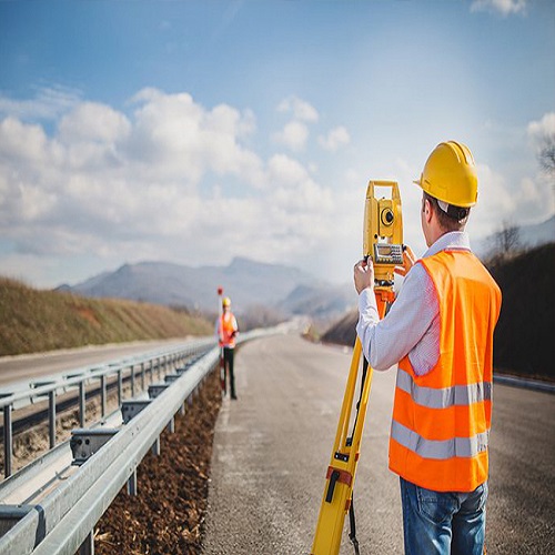
Road Survey
In road surveying, we provide various services to support the design, construction, and maintenance of roads. Some of the key services they offer include the design onto the construction site.
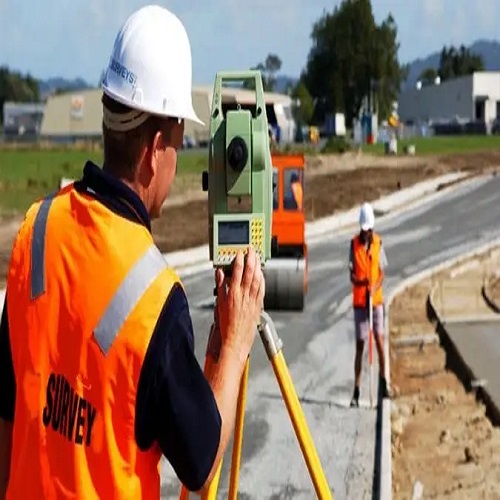
Highway Survey
Highway survey is a comprehensive process that involves gathering precise data and mapping the alignment, features, and characteristics of a highway or major roadway. The main objectives of a highway survey include:
FMB & Contour Survey
FMB Survey:
FMB stands for Field Measurement Book, and it is a record-keeping document used in surveying. In surveying, FMB refers to a book or a set of sheets where the field measurements and observations taken during a survey are recorded. It typically includes details such as distances, angles, elevations, and other relevant data collected during the surveying process. The FMB serves as a reference for future use, analysis, and preparation of maps or plans based on the survey data.
Contour Survey:
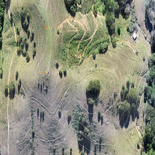
Contour survey, is used to determine the shape and elevation of the land's surface. It involves the measurement and mapping of contour lines, which are imaginary lines on a map that connect points of the same elevation. These contour lines provide valuable information about the topography of an area, including the shape of the terrain, slopes, and surface features.
Pipe Line Survey
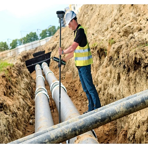
Pipeline surveying is a specialized field of surveying that involves the mapping and layout of pipelines for various purposes, such as transportation of oil, gas, water, or other fluids. The primary goal of a pipeline survey is to accurately determine the route, alignment, and physical characteristics of the pipeline to ensure its efficient and safe operation.

Layout Design & Marking
Layout design and marking refer to the process of planning and marking the positions of objects, structures, or features on the ground or within a designated area. It involves determining the precise locations, orientations, and dimensions of various elements to ensure proper placement and alignment during construction, installation, or any other relevant activity. Layout design and marking are crucial steps in many fields, including construction, engineering, architecture, and manufacturing.

Quantity Survey
Quantity Surveying is broadly concerned with the estimation, planning and control of the cost on construction projects.
. It cover a wide range of activities including cost estimation, cost planning, value engineering, feasibility studies, cost benefit analysis, lifecycle costing and valuation.
Efficient and effective utilisation of resources (materials, manpower, money) is the main objective of a quantity surveyor. It also requires him to have an up-to-date information of market, tools and equipments to help in planning and scheduling of construction activities and resource allocation.
DGPS Survey & Drawing Works
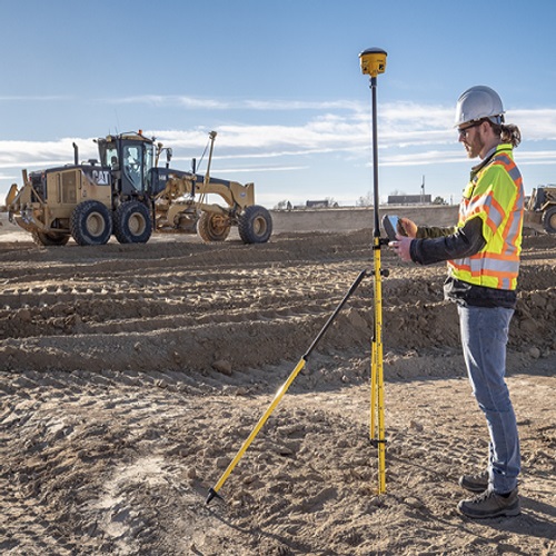
DGPS refers to using a combination of receivers and satellites to reduce/eliminate common receiver based and satellite based errors reduce orbit errors reduce ionospheric and tropospheric errors reduce effects of SA eliminate satellite and receiver clock errors. It provides significantly higher accuracy compared to standard GPS, making it suitable for projects that require precise positioning and mapping of features on the Earth's surface.
